If you think you’ve seen the last of the rain, think again. Tropical Cyclone Uesi is about to caress the coast of Queensland and New South Wales, and the weather forecast is pretty grim.
Sydney is already set for another severe downpour, while Brisbane, Melbourne, Canberra and Hobart will also be affected by rain. News of the cyclone has made things even worse. While it’ll likely be downgraded to a Category 1 system by the time it reaches us, the storm has solidified the forecast of it absolutely pissing down later this week.
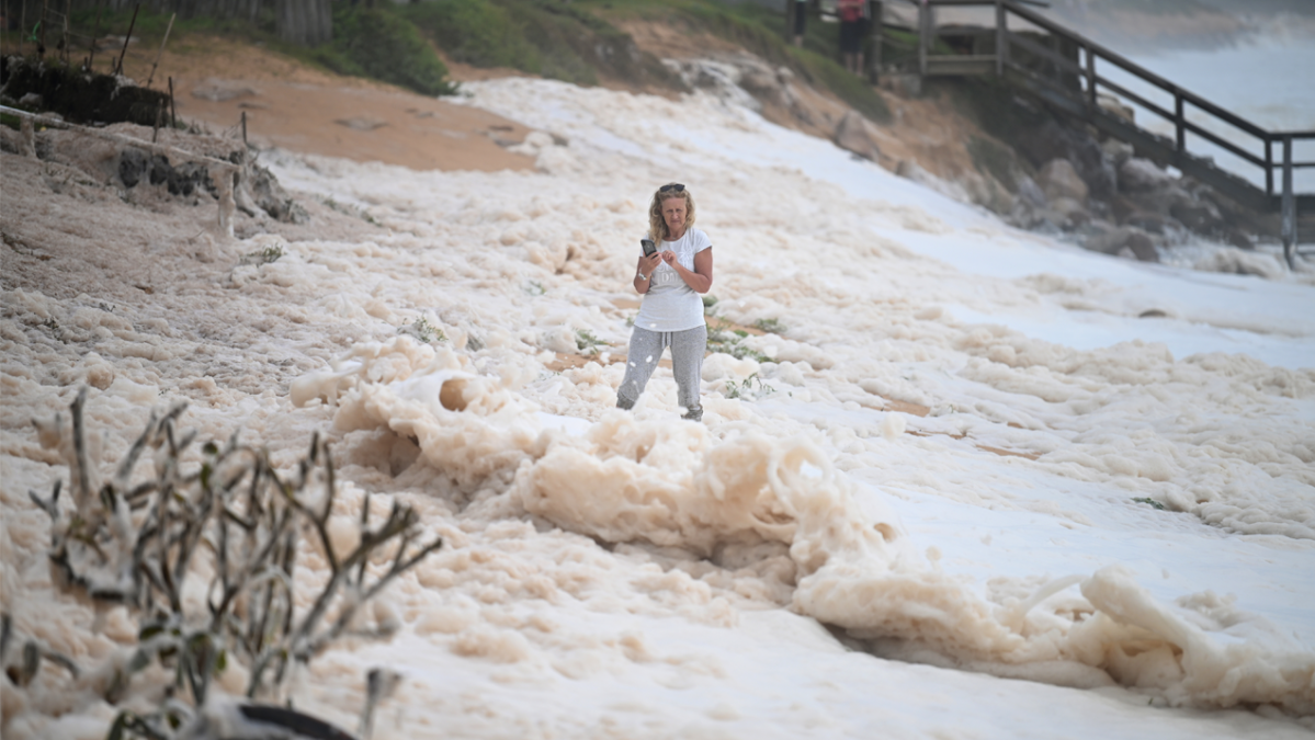
On top of that, Uesi is expected to produce swells of up to 5.5 metres, on top of an already high tide. “It’s expected that the combination of king tides and big swells may contribute to more coastal erosion,” Bureau of Meteorology NSW forecaster Helen Kirkup told the ABC.
Severe Weather Update: Tropical #Cyclone Uesi west of New Caledonia. Video current at 1 pm AEST 12 Feb 2020. Uesi is currently approx. 1000 km offshore; large & powerful swells will develop along parts of the east coast as it moves towards the southwest. https://t.co/cSGjMI8FQM pic.twitter.com/GrEf8mjTVX
— Bureau of Meteorology, Australia (@BOM_au) February 12, 2020
While not expected to make landfall, Uesi will likely get close enough to the coast to tear up some more beaches. While the huge waves might seem ideal for a shred, lifeguards have already closed most beaches north of Surfers Paradise on the Gold Coast. Last week, up to 25 metres of shore was swept away at Sydney’s Collaroy and Narrabeen beaches.
The cyclone is currently making its way towards Australia from New Caledonia. By Thursday, the Bureau of Meteorology expects winds of up to 120 km/h on Lord Howe Island, off the NSW coast. Thankfully the mainland should be spared of the extreme winds. The universe knows we’ve suffered enough this summer.


