The destruction from the California fires that have ravaged through the southern part of the state are now visible from space after images from NASA clearly show the amount of land that has been devastated by the fires.
[jwplayer 6p0QpYGJ]
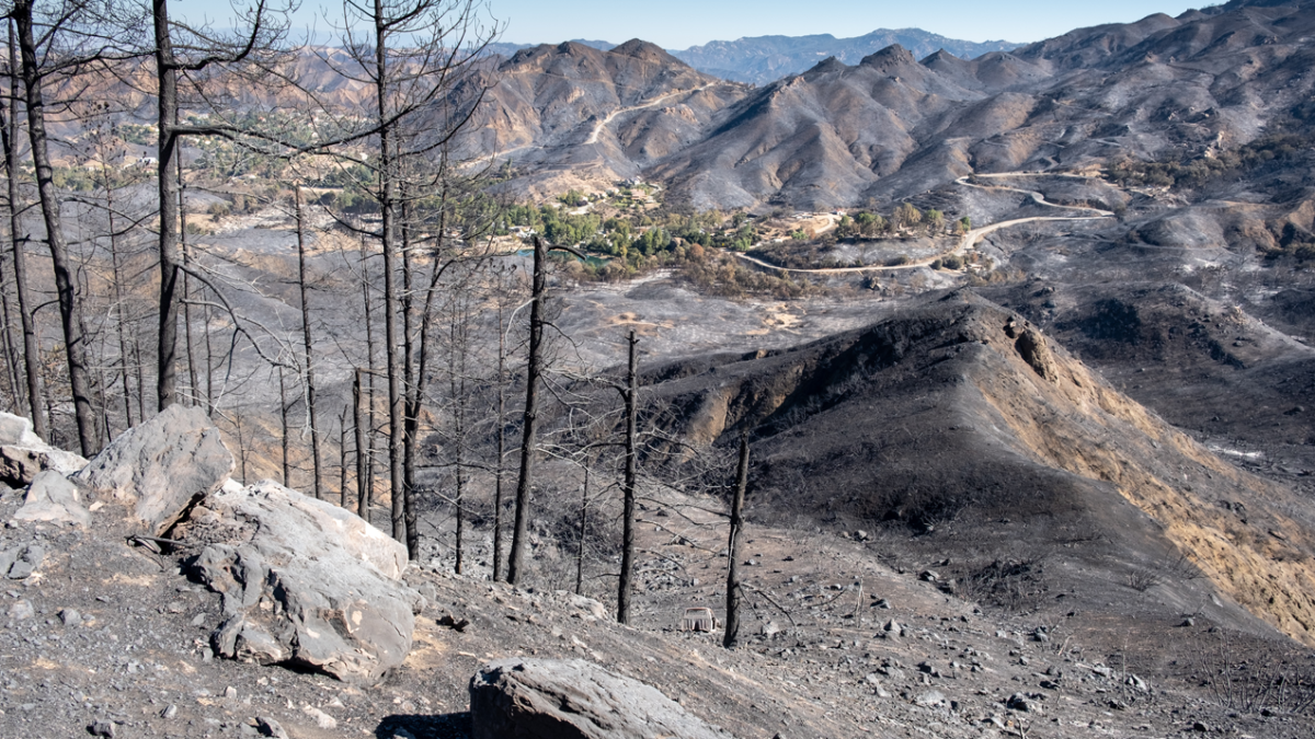
The big burn mark on the Earth’s surface left by the Woolsey Fires in particular stretch about 95,000 acres from the hills right down to the coast. Despite being largely contained, the fires are still active and have destroyed a recorded 1500 buildings.
The photo sent back to NASA from its Terra satellite have been slightly enhanced to show the difference between the green of the untouched landscape, and the burnt browns of the affected areas.
The #WoolseyFire in Southern California has left a scar on the landscape so large that it is easily visible from space. Learn how our @NASAEarth satellite data helps recovery efforts:https://t.co/ESlZhrXRiT pic.twitter.com/kD90Ste8QS
— NASA (@NASA) November 20, 2018
NASA has been assisting with the containment of the California fires and providing burn severity assessments to management teams who will be working on the hard slog of the recovery process once the wildfires have been fully contained. The images from the NASA satellites can also help with pinpointing where active fires are still burning, and areas that may be susceptible to landslides after the fires have burnt through the ground cover.
Our @NASAEarth team mobilized to aid disaster response to the California fires, making info available for agencies on the ground. Satellite data is used to map fires, damage, and burned areas susceptible to landslides and mudslides. About their work: https://t.co/I1hmzasVrL pic.twitter.com/By5KgXRrEd
— NASA (@NASA) November 21, 2018
The Woolsey and Camp fires are regarded as the most damaging in California’s history, with nearly 250,000 acres of land affected, thousands of buildings destroyed, over 80 people killed, and hundreds more still missing. Authorities are hoping to have the fires entirely contained bt the end of the month.


