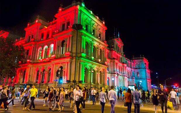
The G20 Summit, at which a group of world leaders will sit around a conference room and debate whether Vladimir Putin even lifts, is fast approaching in Brisbane, the first time the city has hosted an event of this type.
As the lock-down approaches, nobody is really sure how the hell it’s going to go, and the extent to which the Russian president’s early morning shirtless stallion rides through Southbank will affect day-to-day life.
That’s where some very smart researchers come in: thanks to Dr. Peta Mitchell of QUT’s Social Media Research Group, we’ll be able to view actual data of Brisbane’s reaction to the summit, as it plays out in real time.
The Brisbane Times report that Dr. Mitchell and the team have created an interactive map of the city, which will use data from Twitter, Instagram and the like to track the summit as it plays out.
The team will use “geoparsing” software to sift through potentially thousands of social media posts, honing in on specific mentions of landmarks, street names and the like.
“I’m expecting to collect things like people’s reaction to the various G20 cultural activities, their opinions on traffic and public transport disruptions, political commentary, as well as celebrity spotting,” Dr Mitchell told the Brisbane Times.
This will be the first project of its type to map a G20 conference, and while Mitchell and the team still aren’t quite sure how much data they’ll receive through the summit, they’re fascinated at its potential application.
The study aims to look at how a big event like the G20, with its road closures and exclusion zones, affects mobility, traffic and mood in a city like Brisbane, and will potentially be useful for organisaitons planning large events in future.
The interactive map will also provide Brisbane residents with a bird’s eye view of the city, viewing “emerging patterns and clusters of activity” at a glance. The content of social media posts will be visible, but not the creators’ names.
“This project is also a good way for the residents of Brisbane to get involved with the G20 even if they don’t want to be physically close to the city centre when it’s on,” Dr Mitchell added.
Given that almost everyone we know in Brisbane is using Friday’s public holiday as an excuse to get the hell outta Dodge, we imagine a lot of people will be following online.
The map will go live this Thursday November 13, but in the meantime, you can read a detailed rationale on the QUT website.
Photo: Glenn Hunt via Getty Images


