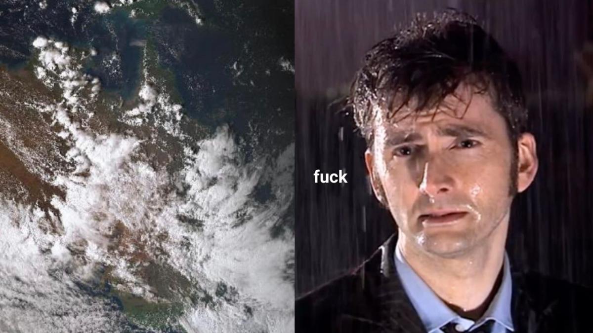
Bundle yourself into a burrito and get cozy, because the wild rain lashing multiple states and territories across Australia is not ending any time soon and forecasters are warning a “dangerous situation is emerging”, including flood warnings. No fucking thanks.
If you thought it was unusually rainy these last couple of days, you’d be right — Alice Springs in the Northern Territory is seeing more rain this month than it has in any other November in the last two decades, with 100mm falling on Wednesday alone.
The state now has flash flooding warnings in place, and it’s not the only one — Queensland and NSW are also being warned of potential flooding.
Locals say they can’t recall seeing the Todd River this high. More than 90mm overnight – Alice Springs hasn’t had that much rain in one dump since 2001 @abcdarwin @abcnews pic.twitter.com/0SHXW8sVnv
— Eliza Goetze (@elizagoetze) November 10, 2021
The peak of the rain is due to hit Queensland and NSW on either Thursday evening or Friday, possibly both, and the system should turn towards Victoria and southern NSW on the weekend. Queensland emergency services have issued a “wild weather” warning for “almost everyone” in the state immediately.
Severe thunderstorm warning for damaging winds and heavy rainfall that may lead to flash flooding in #SEQld. Check the radar and keep up to date with the latest warnings here: https://t.co/7UlzU1gNXu pic.twitter.com/lVDKwqgFBP
— Bureau of Meteorology, Queensland (@BOM_Qld) November 11, 2021
“Multiple states and territories are now under rain warnings and flood watches as wet and stormy weather grips large parts of Australia over the past 24 hours,” meteorologist Jonathan How said, per 7 News.
Unfortunately, shit is about to get worse, with the storms likely to travel down to NSW too. NSW SES and BOM are urging people to “be prepared” for flooding, and to avoid driving through floodwaters if they come across them. Stay inside besties!!
⚠️ SEVERE WEATHER WARNING UPDATE ⚠️
HEAVY RAINFALL which may lead to FLASH FLOODING is forecast over N NSW Thursday morning, and also over parts of the Central West Slopes and Plains and parts of the South West Slopes late Thursday evening.
Updates: https://t.co/Ss766eSCrL pic.twitter.com/rb7c9eT2fv
— Bureau of Meteorology, New South Wales (@BOM_NSW) November 10, 2021
Don’t be fooled if you have some nice weather in Victoria tomorrow though — the storm is coming. And that’s a threat.
A system is brewing over South Australia and will lash the state with strong winds and heavy rain and then is expected to travel down to Victoria over the weekend, most likely Sunday. It has prompted yet another severe weather warning for flash flooding in certain areas, particularly Gippsland.
“As [the system] moves into the Tasman it will direct a vigorous onshore flow across the Gippsland area with another dangerous situation emerging there,” Sky News Weather meteorologist Alison Osborne said earlier on Thursday.
“This means strong winds, more flooding rain, and also the real risk of fallen trees across an area that has already been blighted by these weather events so far this year.”
All of this comes amidst reports that a La Nińa event is imminent, if not already here. Basically, if you’re in NT, QLD, NSW, VIC or SA… good luck and Godspeed.